
East Norwich
A flood-resilient riverside community at the gateway to the Norfolk Broads
Back to Cities, Skylines & Masterplans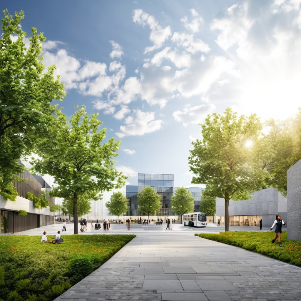
“A landmark, sustainable gateway community between the city and the Norfolk Broads.”
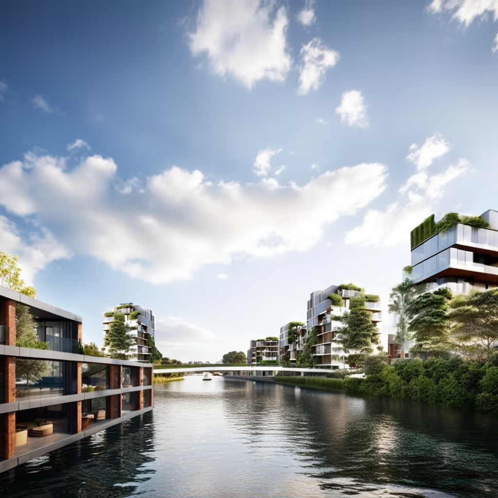
Norwich City Council has granted planning consent for the redevelopment of a brownfield site in East Norwich, comprising 670 homes, a local centre, and restaurants.
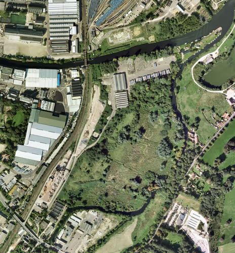
The site, located on the outskirts of the city centre, is currently isolated by the railway line, the River Yare, and the River Wensum.
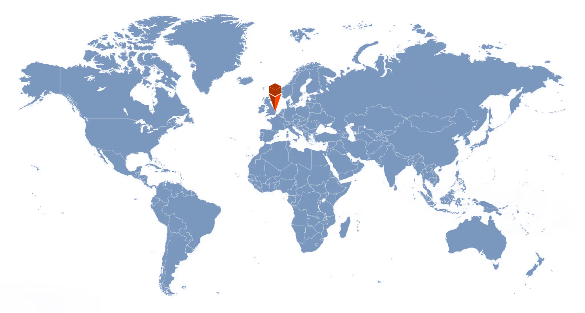
Positioned at the transition between Norwich and the Norfolk Broads, the redevelopment offers an opportunity to create a landmark, sustainable gateway community of much-needed new housing near the city centre.
We collaborated with Dutch architects Atelier PRO and applied award-winning LifE (Long-term Initiatives for Flood-risk Environments, developed for Defra, UK) principles to the masterplan.
These planning principles enable development on challenging sites by addressing flood risk, contamination, providing net ecological gain and highway constraints simultaneously.
Financial viability guides how these competing interests are reconciled to create a new community that is environmentally sensitive, people-friendly, and resilient.
Flood-resilient homes are strategically sited around ecological swales that feed into a County Wildlife Site marsh, providing on-site water management while mitigating flood risk to surrounding areas.
Sustainable transport is central to the design, with a main pedestrian and cycle thoroughfare, reduced car parking, a neighbourhood car club and a new footbridge. Energy demand will be met through a Combined Heat and Power (CHP) station on a nearby brownfield site, integrating renewable energy into the wider masterplan.

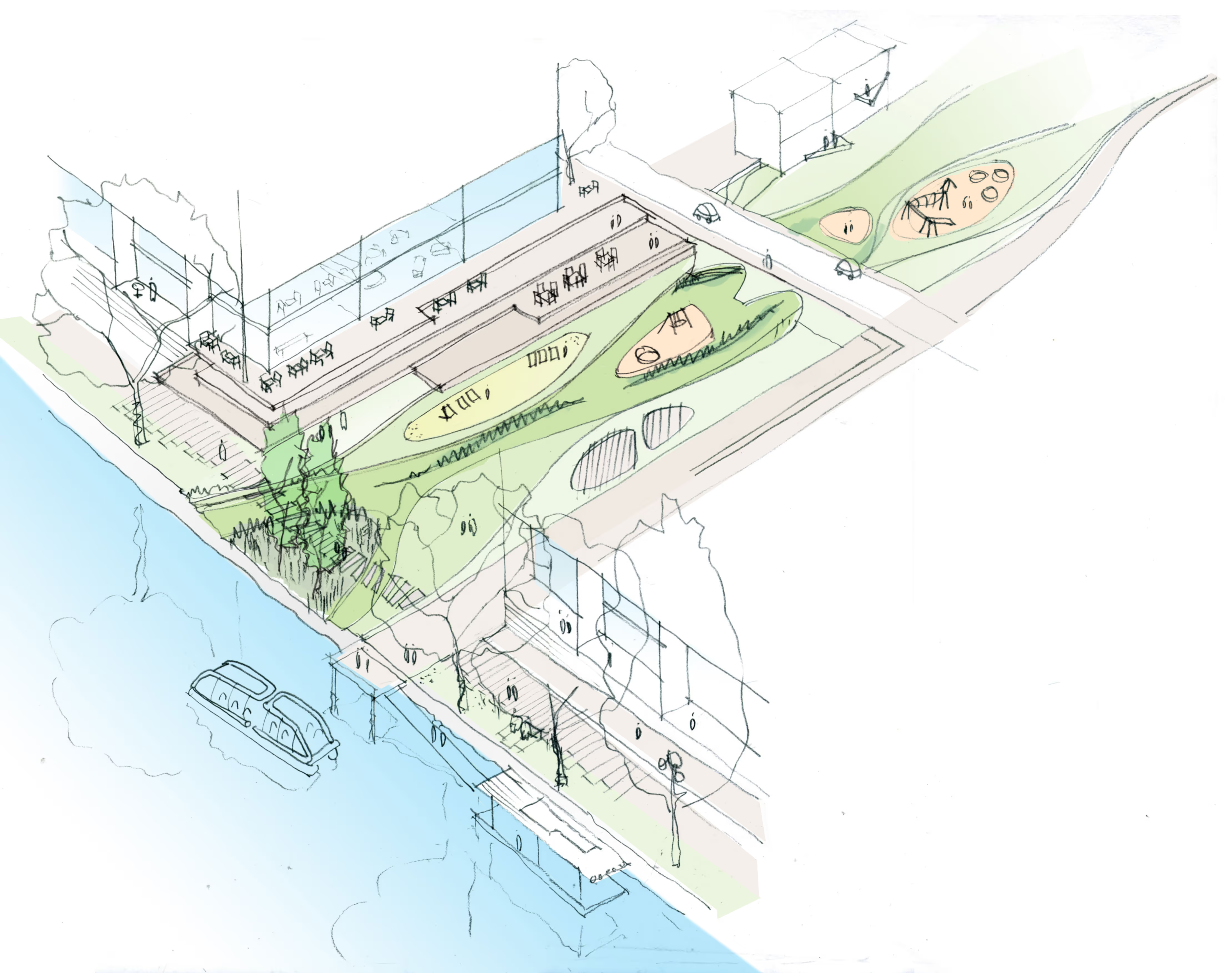
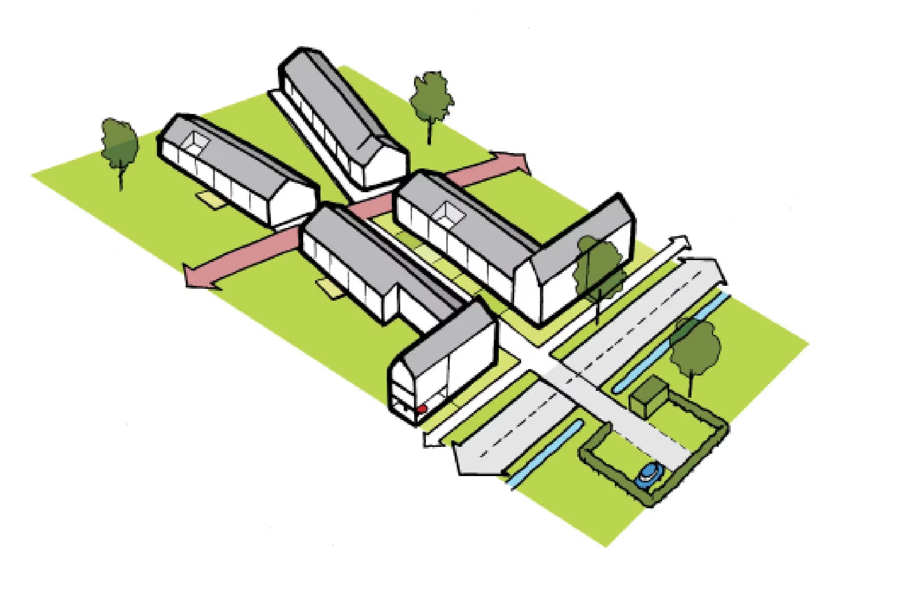
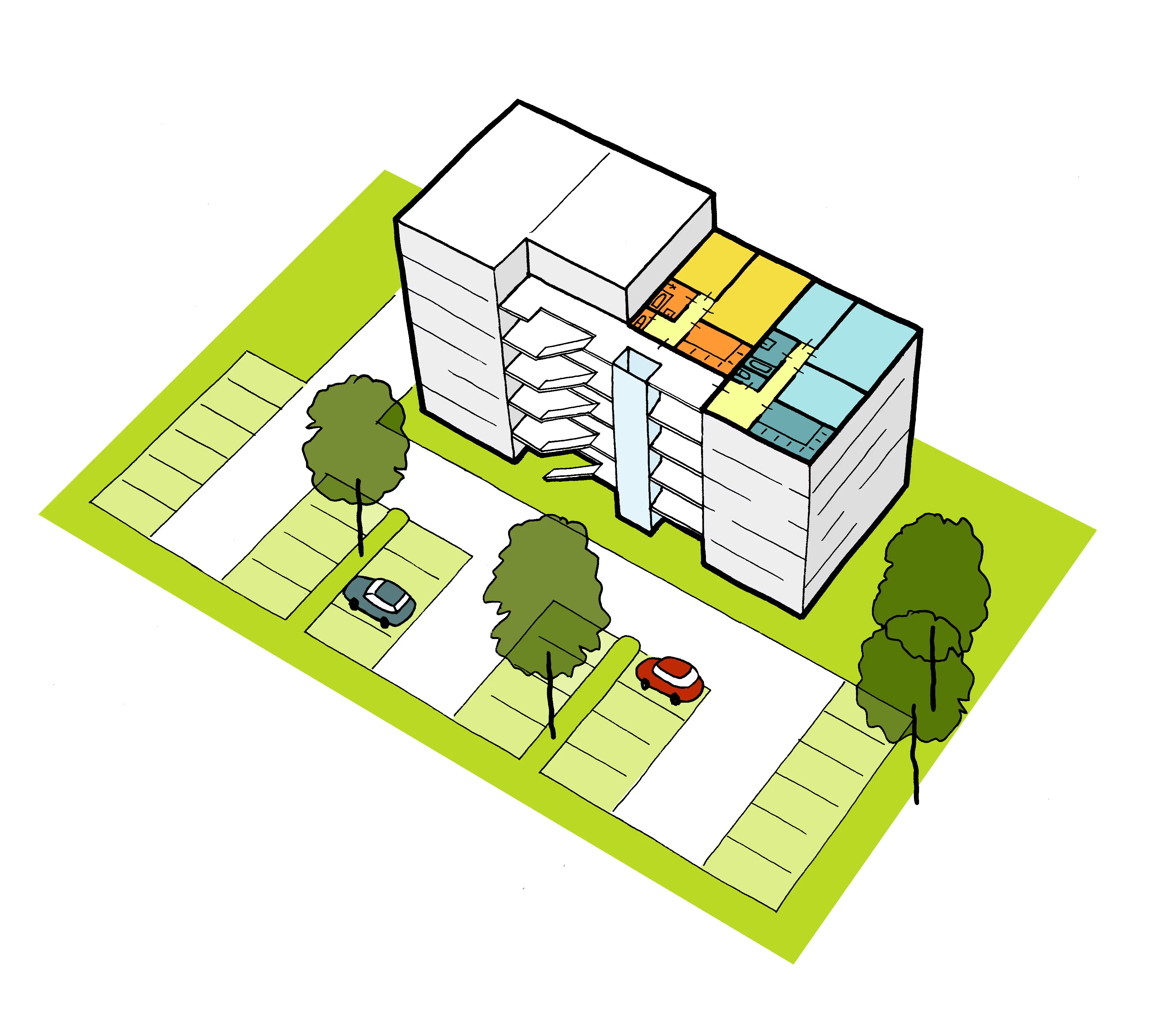
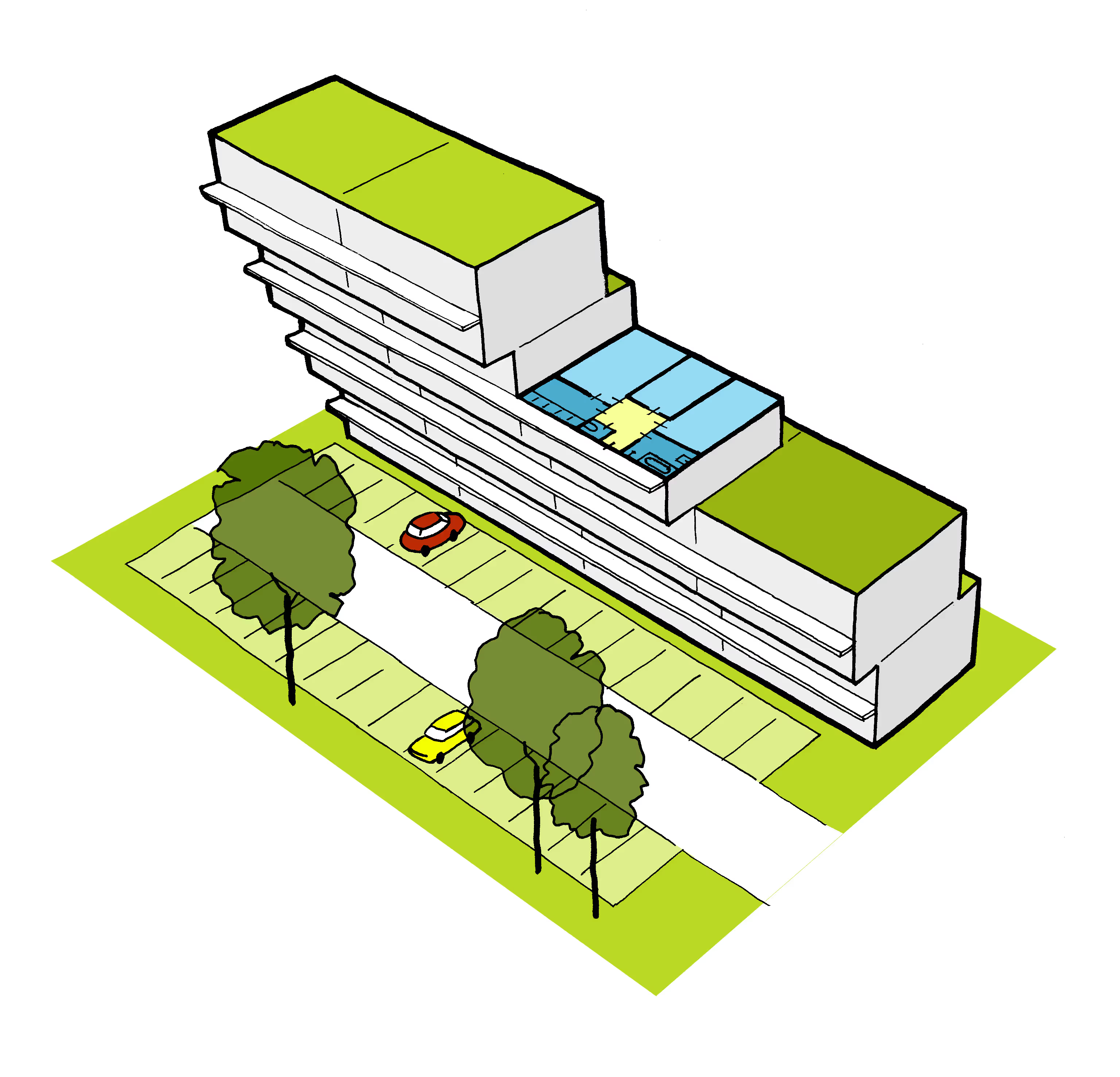
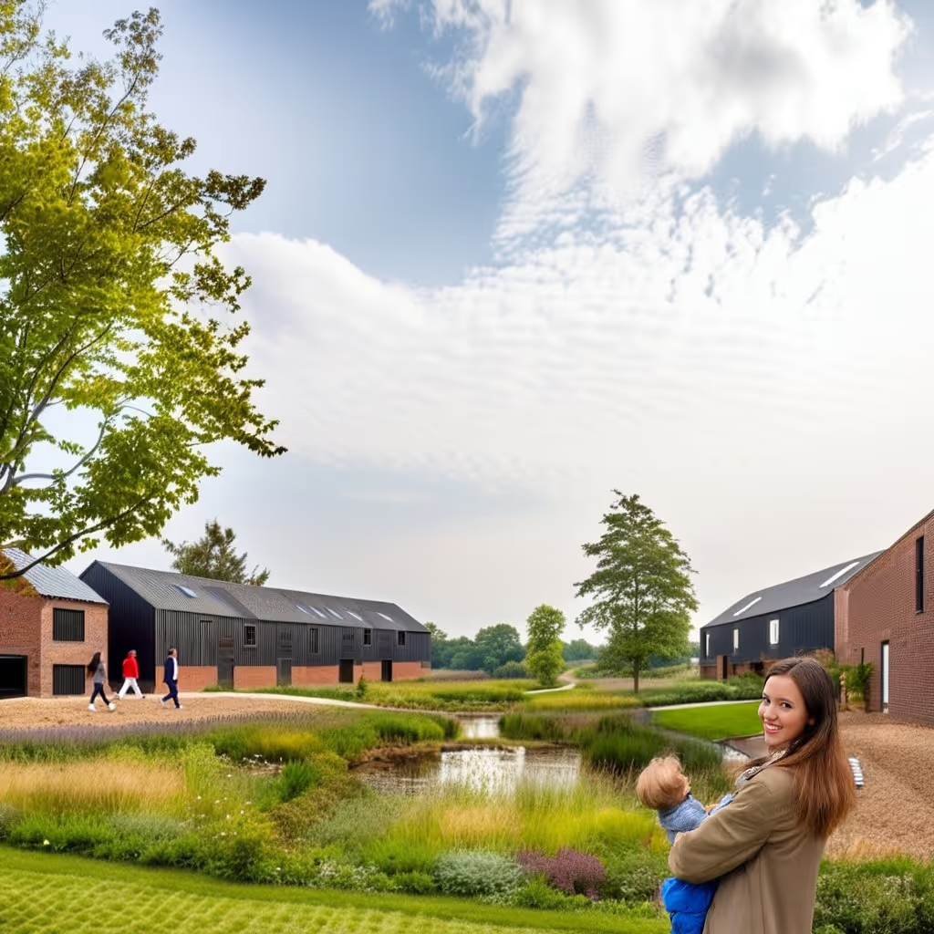

The masterplan emphasises a sensitive relationship with the landscape, integrating homes, streets, and public spaces with ecological and flood-management features.
Buildings are arranged to form a transitional edge between the city and the Broads, connected to flood-resilient homes. The ground floors are slightly elevated to connect to the main road, providing dry access and egress in all weathers.
Ecological swales, marshland, and green infrastructure (rewilding initiatives) are incorporated for both their functional and social value, creating a network of waterways and wildlife habitats throughout the site.
The design combines urban density with a human-scale, community-focused environment, incorporating a local centre and restaurants to serve residents.
Streets and public spaces are designed to encourage walking, cycling, and social interaction, while sustainable infrastructure, energy provision, and flood resilience create a model for integrated, environmentally conscious urban regeneration.

