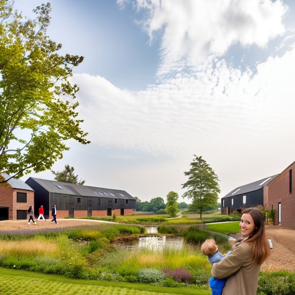
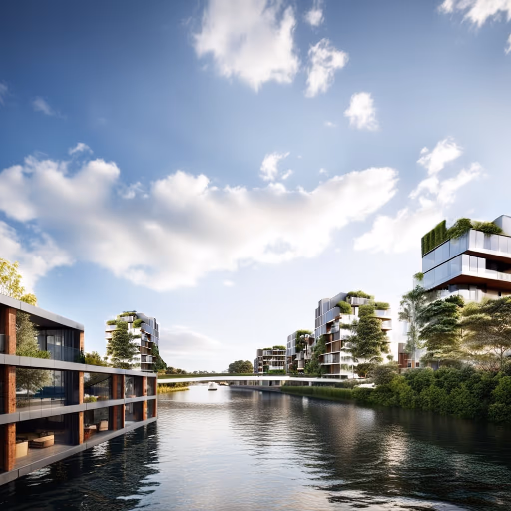
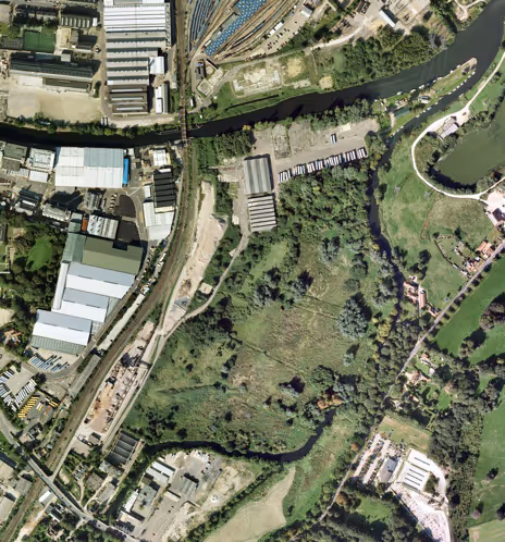
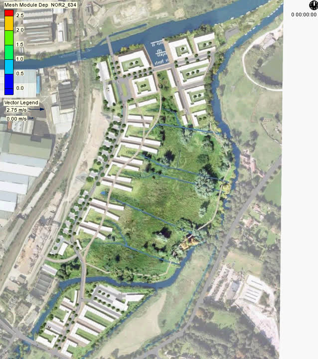
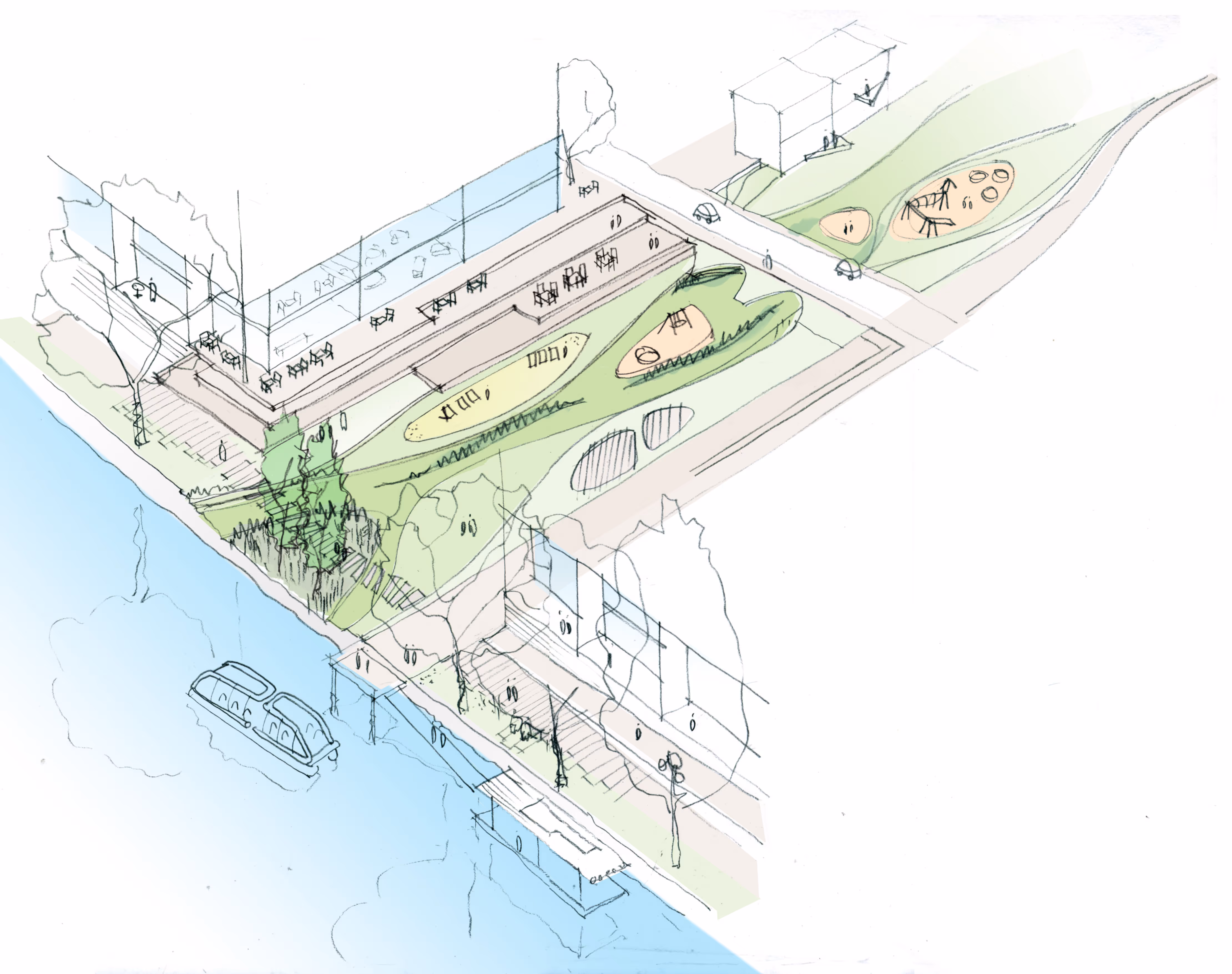
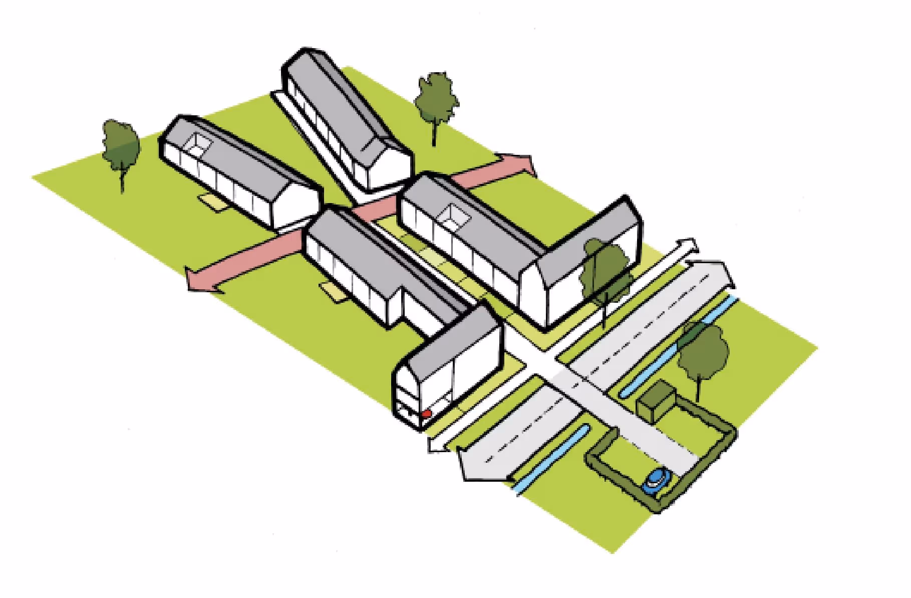
Modern buildings with greenery on terraces lining a calm river under a blue sky with scattered clouds.

East Norwich

Location: Deal Ground, Norwich
Status:
Outline Planning Secured
Scale:
670 new homes over 20 hectares
Constraints:
Brownfield, Riverine site in Flood Zones 2 and 3
Project Management:
Lanpro
Masterplanning& architecture:
Atelier PRO architekten and BACA architects
SUDS Engineers:
Total Flood Solutions
Flood Risk Engineers:
JBA Consulting
Ground Engineer:
PlanDescil
Ecologist:
Aspect Ecology
Highways & Access:
Contemporary Transport
Costs:
Cyril Sweett
Noise and vibration consultants:
Hodgson and Hodgson
Archaeological advisors’:
CgMs

World map with a red location pin marking a place in northern Europe near the United Kingdom.

Background

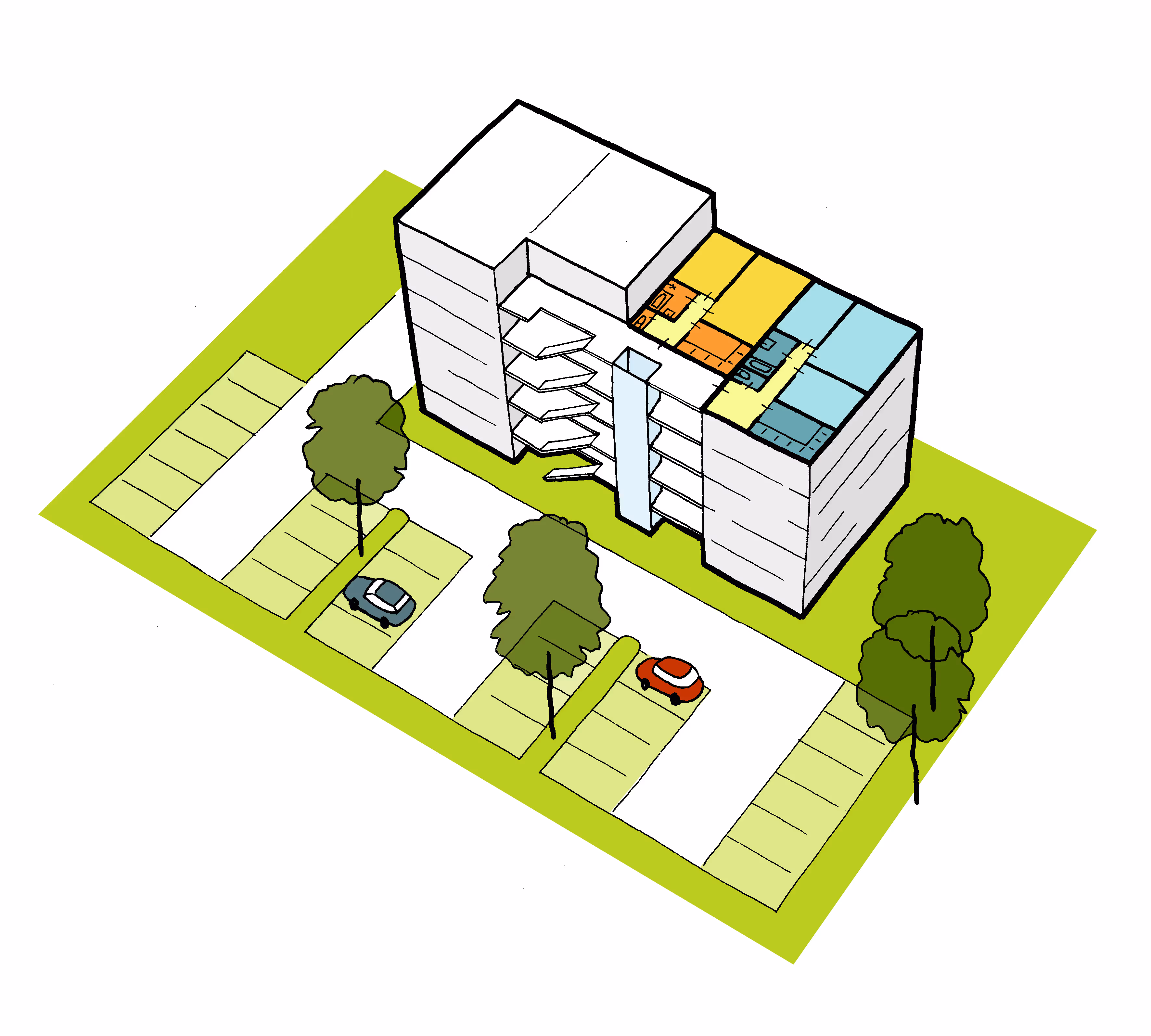
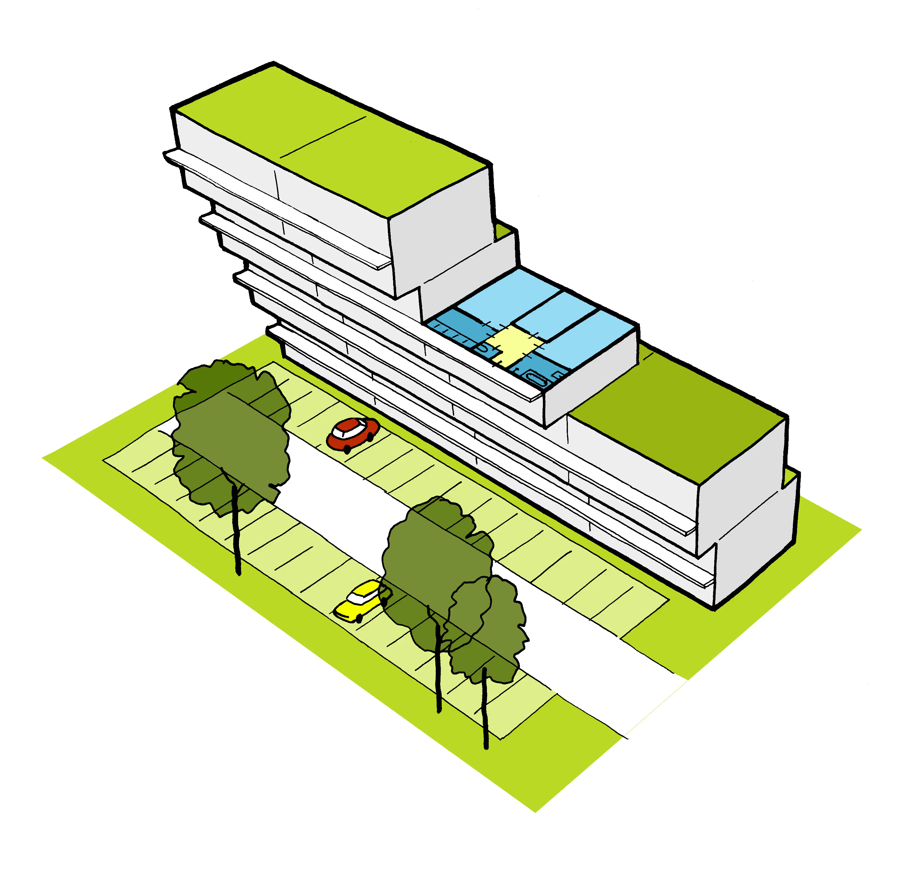
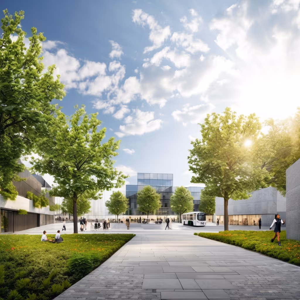
Norwich City Council has granted planning consent for the redevelopment of a brownfield site in East Norwich, comprising 670 homes, a local centre, and restaurants.

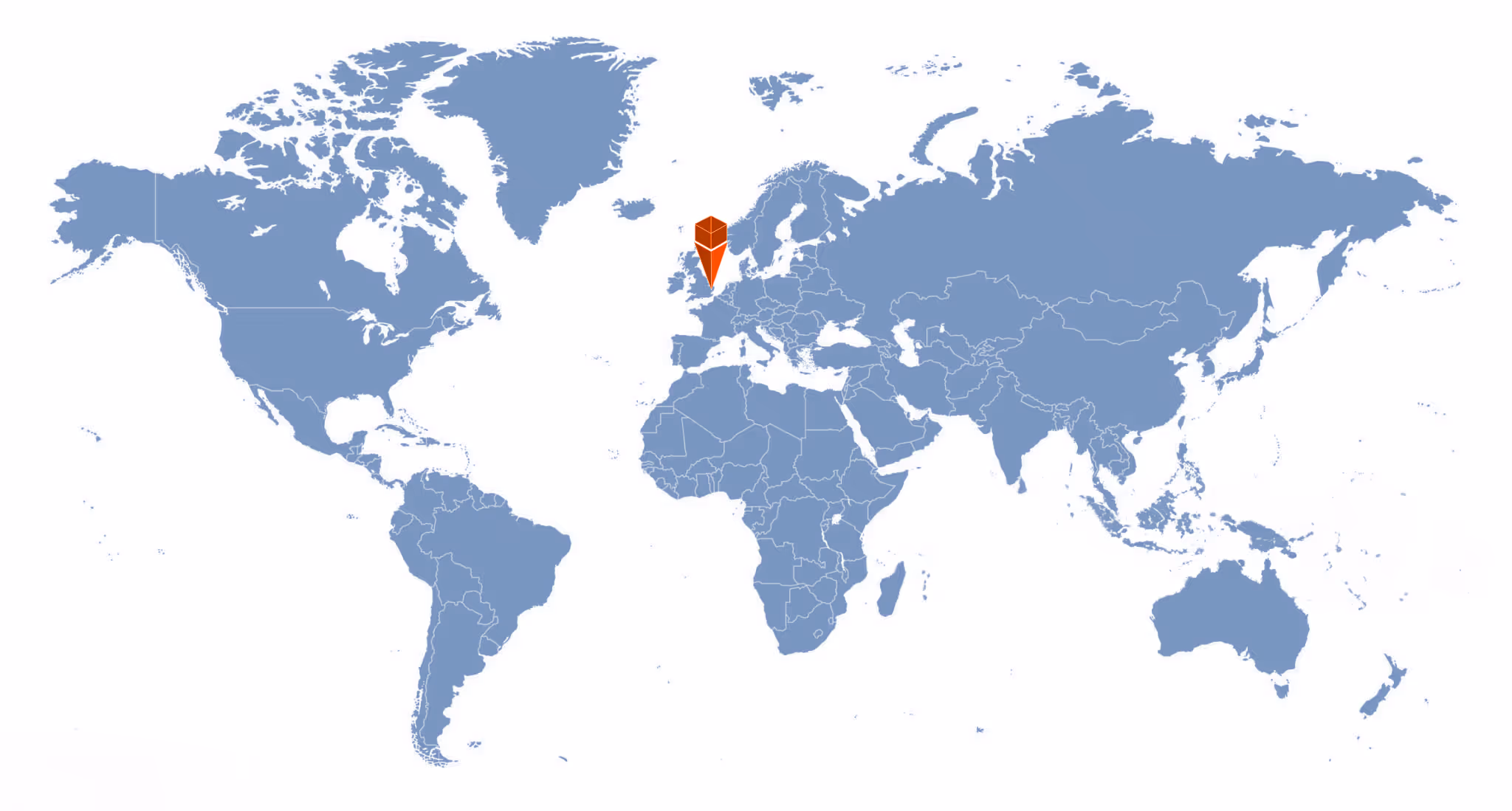
The site, located on the outskirts of the city centre, is currently isolated by the railway line, the River Yare, and the River Wensum.

Positioned at the transition between Norwich and the Norfolk Broads, the redevelopment offers an opportunity to create a landmark, sustainable gateway community of much-needed new housing near the city centre.

Four people seated around a table reviewing architectural plans inside a church.
Aerial view of a mixed landscape featuring industrial buildings, railway tracks, rivers, green fields, and wooded areas.
Aerial view of a mixed urban development plan with residential buildings, green open spaces, waterways, and surrounding industrial and rural areas.
Hand-drawn concept plan showing a village layout with buildings, roads, a river, open green spaces, and directional arrows.

Process

We collaborated with Dutch architects Atelier PRO and applied award-winning LifE (Long-term Initiatives for Flood-risk Environments that was developed for Defra, UK) principles to the masterplan.

These planning principles enable development on challenging sites by addressing flood risk, contamination, providing net ecological gain and highway constraints simultaneously.

Financial viability guides how these competing interests are reconciled to create a new community that is environmentally sensitive, people-friendly, and resilient development.

Flood-resilient homes are strategically sited around ecological swales that feed into a County Wildlife Site marsh, providing on-site water management while mitigating flood risk to surrounding areas.

Sustainable transport is central to the design, with a main pedestrian and cycle thoroughfare, reduced car parking, and a neighbourhood car club. A new footbridge was also included.

Energy demand will be met through a Combined Heat and Power (CHP) station on a nearby brownfield site, integrating renewable energy into the wider masterplan.

Architectural sketch of a waterfront development showing a building with outdoor seating, green spaces with playgrounds, pathways, parked cars, and a dock with small boats on a river.
Isometric diagram of a suburban area with six buildings arranged around intersecting roads, green lawns, trees, a small parking area with one car, and arrows indicating directions along pathways.
Isometric drawing of a multi-story building with colored interior rooms on the top floor, adjacent parking spaces, and trees around the parking area.
Architectural illustration of a modern rectangular building with green flat roofs, two cars parked in the adjacent lot, and three trees along the parking area.
Modern civic square with trees, people walking, sitting on grass, and a white tram under a bright sunny sky.

Architecture

The masterplan emphasises a sensitive relationship with the landscape, integrating homes, streets, and public spaces with ecological and flood-management features.

Buildings are arranged to form a transitional edge between the city and the Broads, connected to flood-resilient homes. The ground floors are slightly elevated to connect to the main road to provide dry access and egress in all weathers.

Ecological swales, marshland, and green infrastructure (rewilding initiatives) are incorporated as both functional and social value, creating a network of waterways and wildlife habitats throughout the site.

The design combines urban density with a human-scale, community-focused environment, incorporating a local centre and restaurants to serve residents.

Streets and public spaces are designed to encourage walking, cycling, and social interaction, while sustainable infrastructure, energy provision, and flood resilience create a model for integrated, environmentally conscious urban regeneration.

Modern wooden pedestrian bridge over a river with people walking on and nearby, a group of children feeding ducks, and boats on the water.
Aerial view of a green urban area with buildings, roads, a river, and patches of forest and fields.
Woman holding a baby beside a pond with green grass and modern brick and black buildings in the background under a partly cloudy sky.