Portsmouth Waterside Masterplan

Location: Portsmouth , UK

Client: Portsmouth Council

Scale:
N/A

Design Team:

BACA Architects

Process

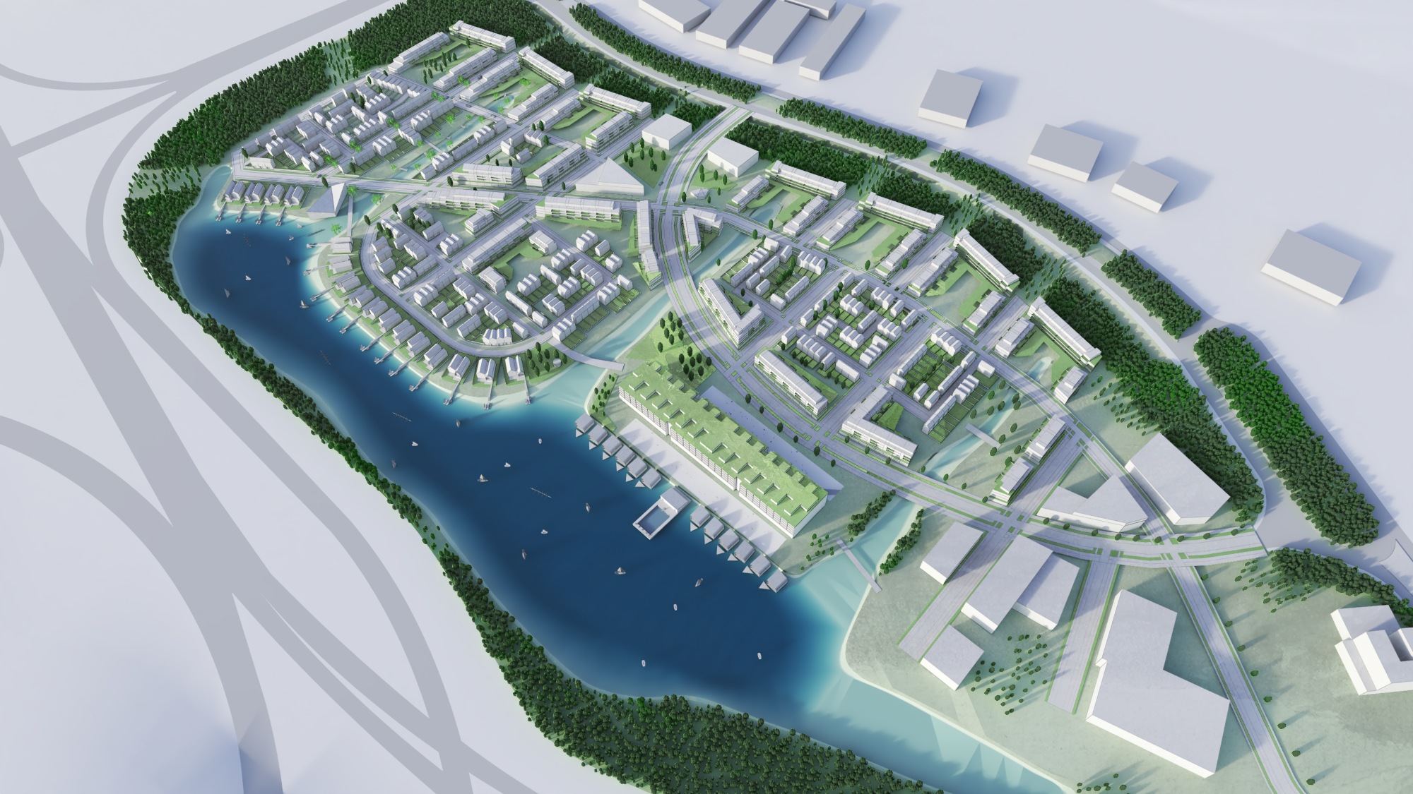
BACA's integrated planning process began with a feasibility study assessing flood vulnerability, transport links, and potential for adaptive growth.

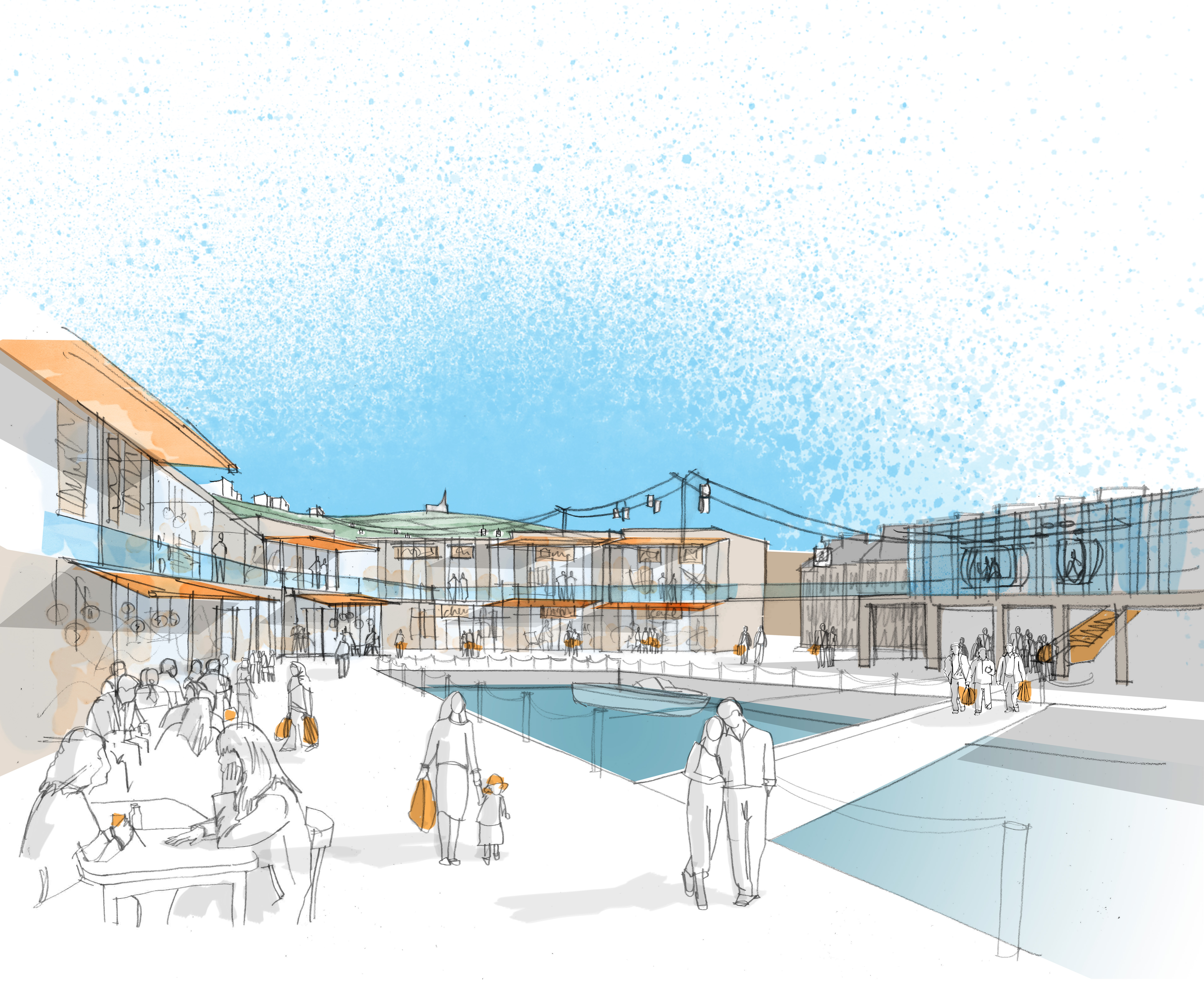
Using the LifE principles, the masterplan organises the site into safe development zones while ensuring continuity of daily life even during floods.

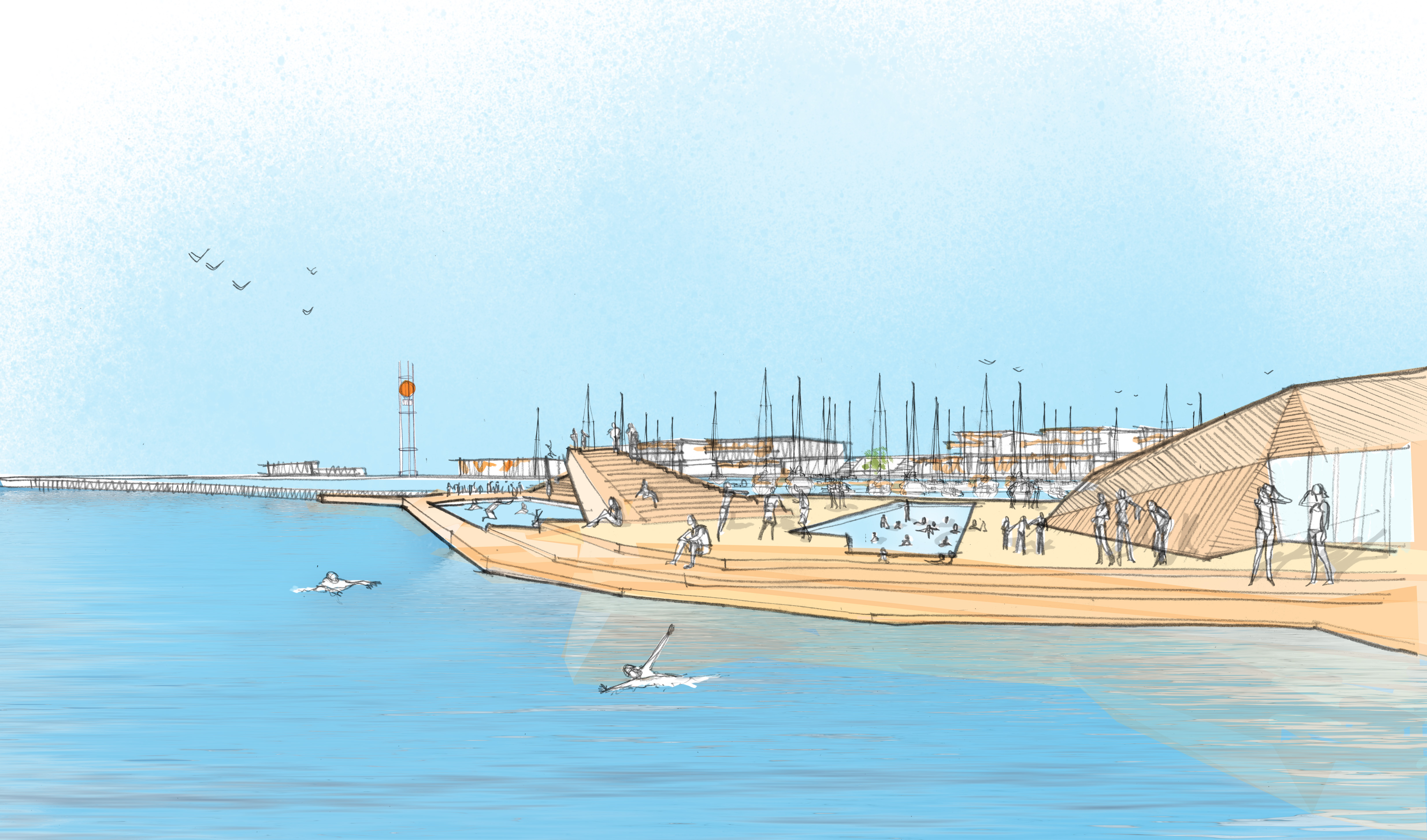
The strategy combines place making and flood management, introducing “swale corridors” that channel surface water, act as Sustainable Urban Drainage Systems (SuDS), and create landscape parks at the centre of the development.

These corridors divide the site into four character zones: business, housing, mixed-use, and the retained IBM Building 1000. Elevated roads and safe access routes are incorporated to maintain resilience during extreme weather.

Green infrastructure is prioritised over hard engineering, integrating ecology, recreation, and water management into the site’s structure.

Architecture

The plan reimagines the existing IBM Building 1000 as the neighbourhood’s civic landmark through retrofitting, recladding, and the addition of penthouses facing the lake.

The lake itself becomes the focal point, hosting leisure activities such as sailing, kayaking, and canoeing, supported by a new clubhouse and a mix of static and floating homes along its edge.

Housing typologies are distributed according to flood-risk zones: floating homes in high-risk (Zone 3b) areas, amphibious and resilient homes in moderate-risk zones, and traditional homes on higher ground.

The architecture and urban layout promote active streets, appropriate densities, and low-carbon living, with sustainable transport options like shuttle services, cycling routes, and electric charging points.

This masterplan demonstrates how making space for water can create a safe, attractive, and climate-adaptive community, offering a model for future flood-resilient urban design.